

China’s Maritime Safety Administration has added an Arctic Shipping Route module to its portal, while the country has begun distributing Arctic sea-ice forecasts through maritime communications channels.
As demand for Arctic shipping grows, agencies under China’s Ministry of Transport have introduced two measures to strengthen route information and navigation safety.
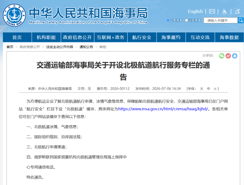
The Maritime Safety Administration has added an Arctic Shipping Route module under the Navigation Safety section of its official portal, helping shipping companies obtain navigation-application, ice and weather information.
The module provides Arctic ice and weather data, international rules and coastal-state regulations, application channels for Arctic navigation, and dedicated contact information for Russia’s Northern Sea Route Administration maritime operations center.
Separately, the Beihai Navigation Security Center under the Ministry of Transport has begun publicly broadcasting Arctic sea-ice forecasts.
This is the first time China has distributed Arctic sea-ice forecasts through maritime communications channels, marking a shift from current-condition reporting to dynamic forecasting and further strengthening the country’s Arctic navigation information system.
On July 1, 2024, the center launched its first maritime safety information service for Arctic routes. Tianjin Coast Radio distributes sea-ice observations and weather forecasts for key Arctic waters by MF/HF single-sideband radio.
After two years of operation, testing aboard polar vessels including Xuelong 2 has shown stable and reliable reception in core sections of both the eastern and western routes, including the Bering Strait and Norwegian Sea.
Building on those results, the center’s Tianjin Communications Center worked with the Tianjin Meteorological Service Center to integrate oceanographic, meteorological and hydrological observations, optimize forecasting models and produce an independently controlled Arctic ice-forecast product.
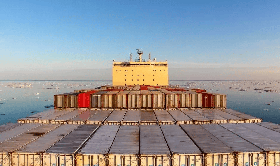
The service covers the East Siberian, Laptev, Kara and Barents seas, as well as the Bering, Dmitry Laptev, Vilkitsky and Kara straits. It forecasts ice thickness, ice extent and drift speed at three-hour temporal resolution and 10-kilometer spatial resolution, with updates every 24 hours.


