

China has officially published the first dedicated nautical chart for the seaward entrance of the Pinglu Canal.
The chart, titled “Pinglu Canal Estuary” and numbered 92108, was compiled by the Shanghai Chart Center under the East China Sea Navigation Support Center and published by the Maritime Safety Administration of China on September 7.
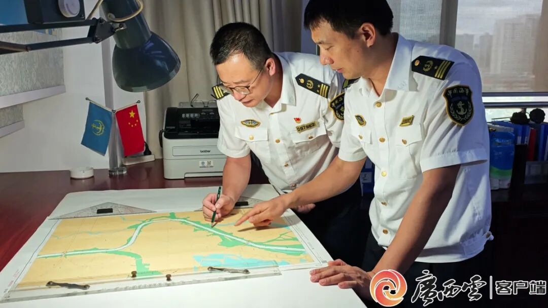
It covers the 22-kilometer newly built coastal navigation channel of the Pinglu Canal, extending from the Qinjiang Bridge on the G75 Lanzhou–Haikou Expressway to the waters connecting Longmen Bridge and Qinzhou Port.
At the same time, installation of navigation aids along the canal’s coastal entrance section has been completed, with 127 aids to navigation now in place.
The new chart connects with existing standardized charts for Qinzhou Port, completing the navigational chart coverage of the area and providing additional safety support ahead of the canal’s planned opening.


